


The Pacific Northwest Trail
Trail Name: Couscous
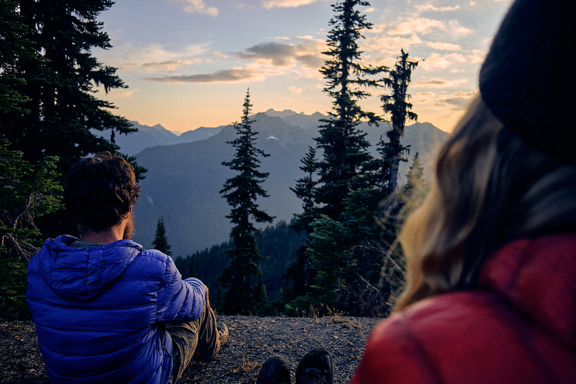
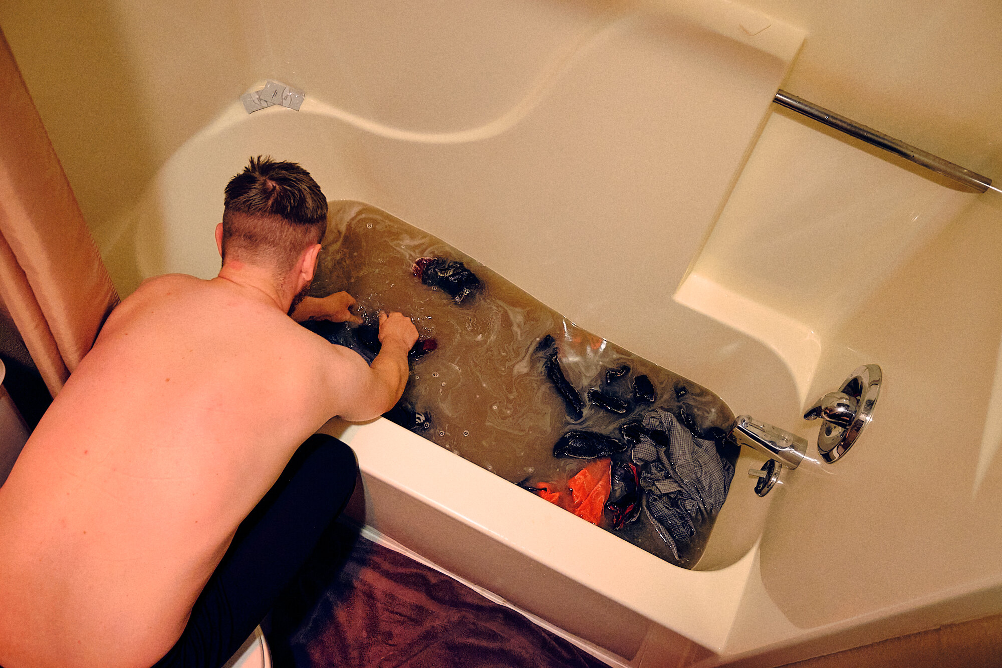
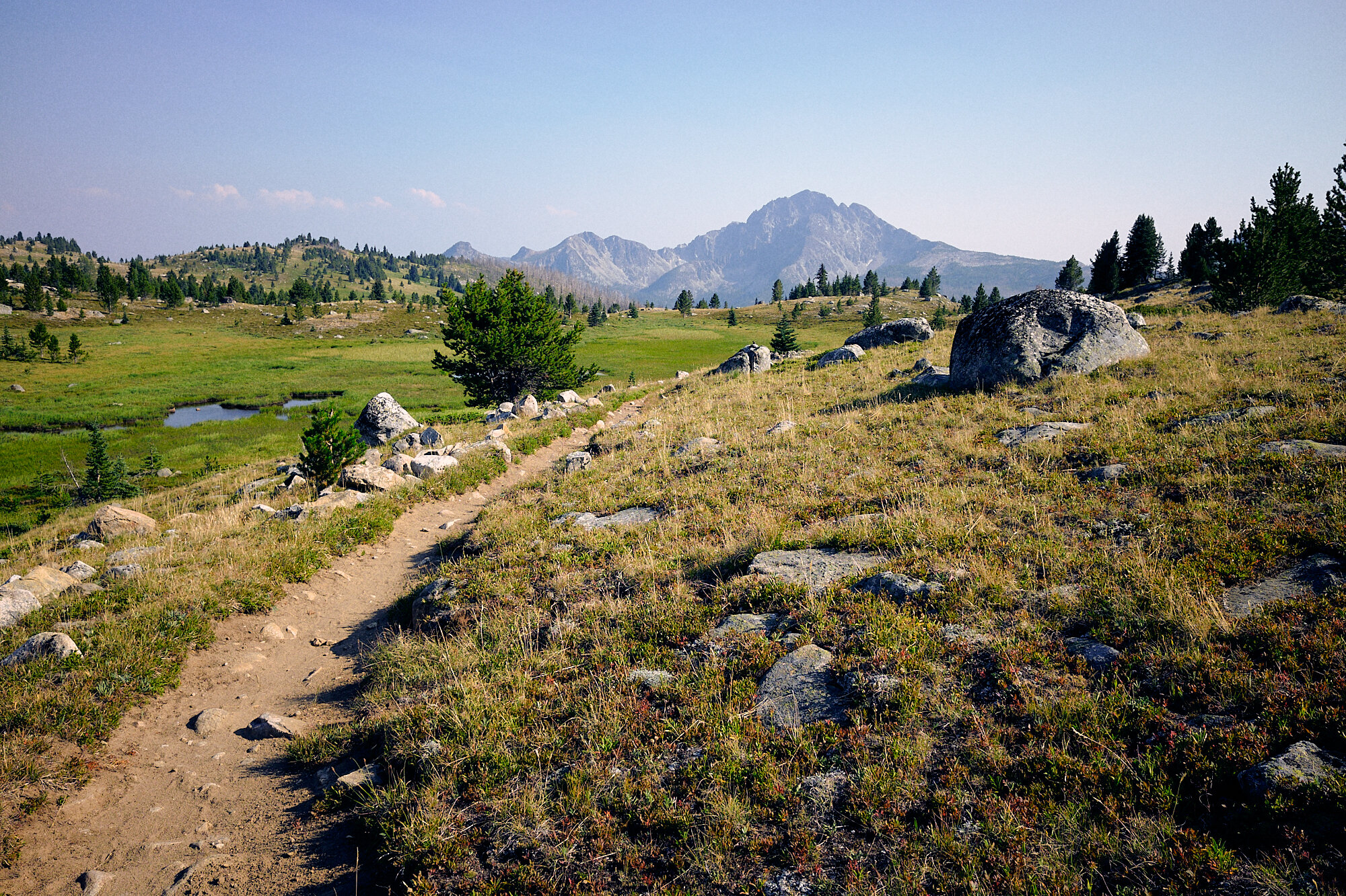
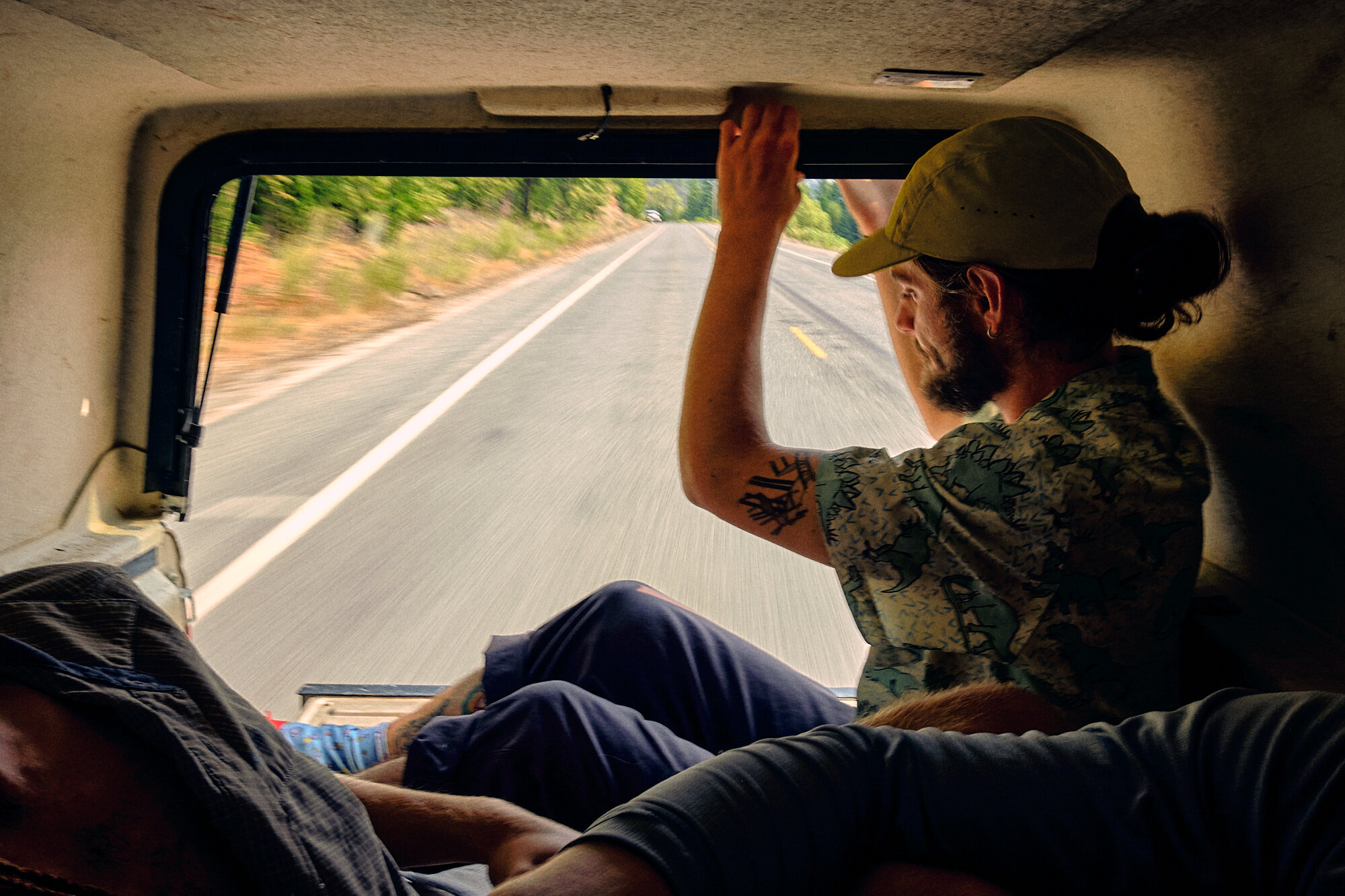
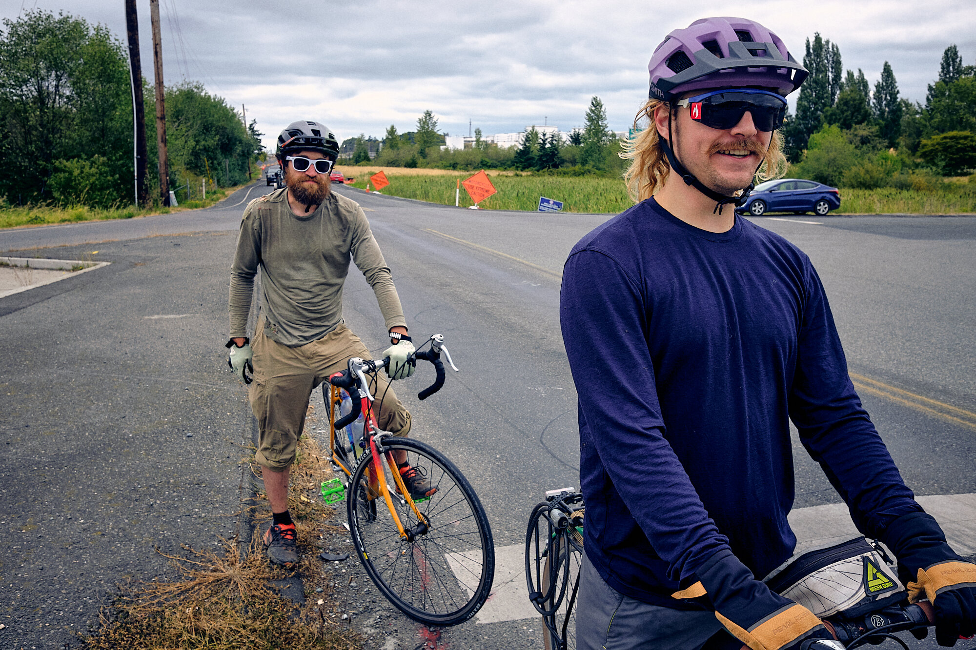
“You’re doing the Pacific Northwest Trail? That’s the PCT, isn’t it?”. If I had a dollar every time I heard that on this hike, I could have afforded many more brewskis in town. Also, not quite. The PNT is the newest of the National Scenic Trails, and it shows; twice as many people have been to space as have thru-hiked the PNT. That figures, since the trail isn’t so much a trail as it is a route, you have to constantly jump from “Trail xyz” to “Forest Road 123” to “Paved Road Whatever”, and there are plenty of places where the trail doesn’t exist at all and you’ve got to bushwhack it.
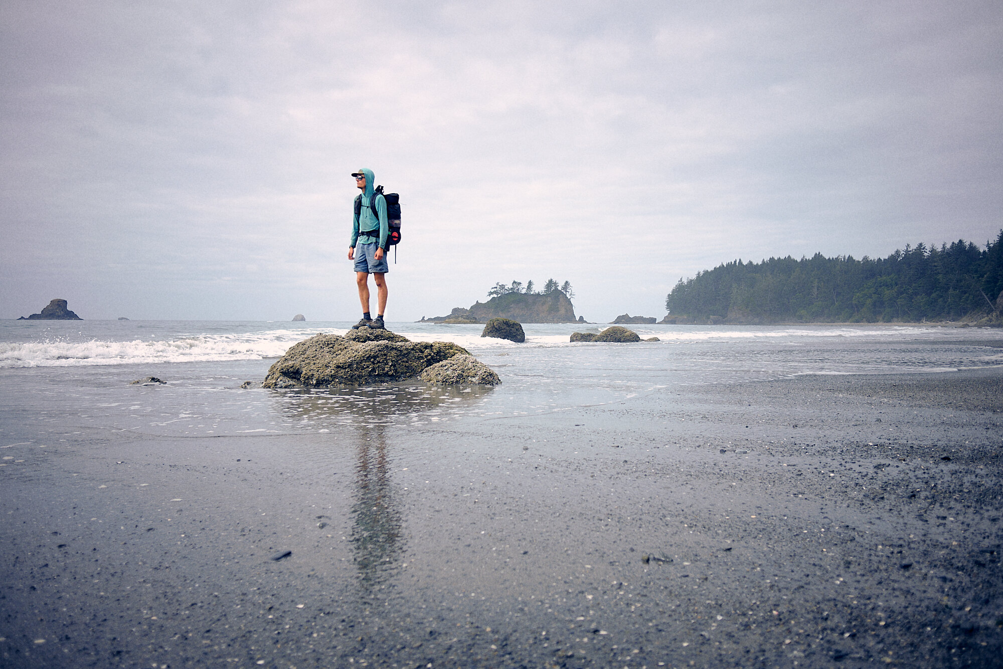
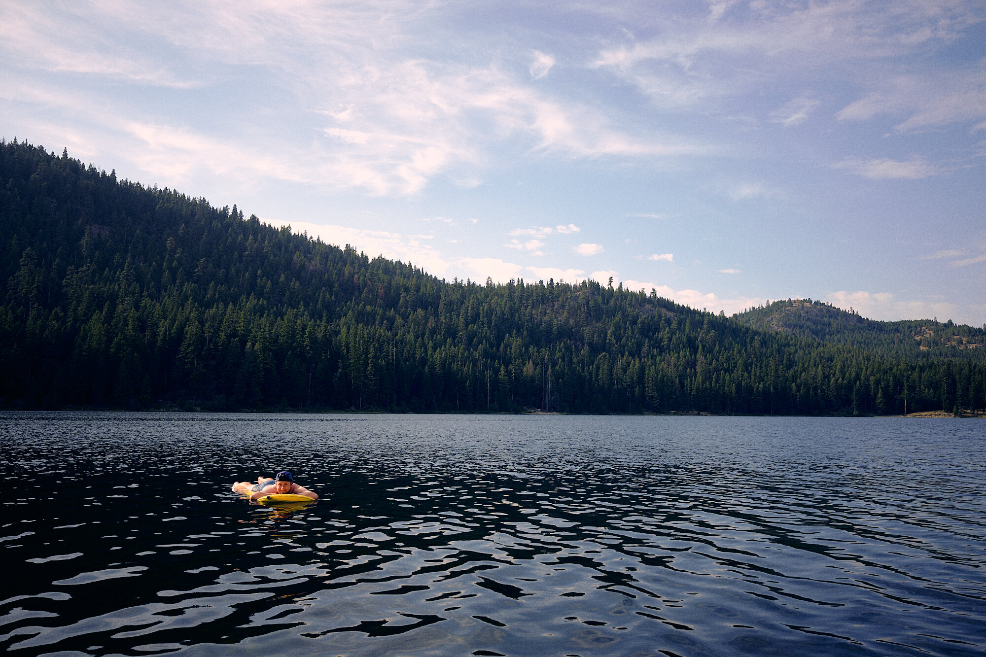
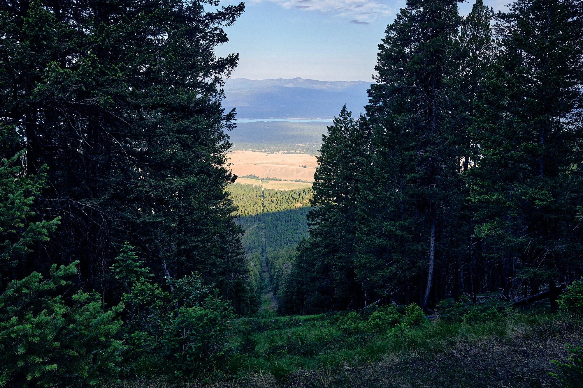
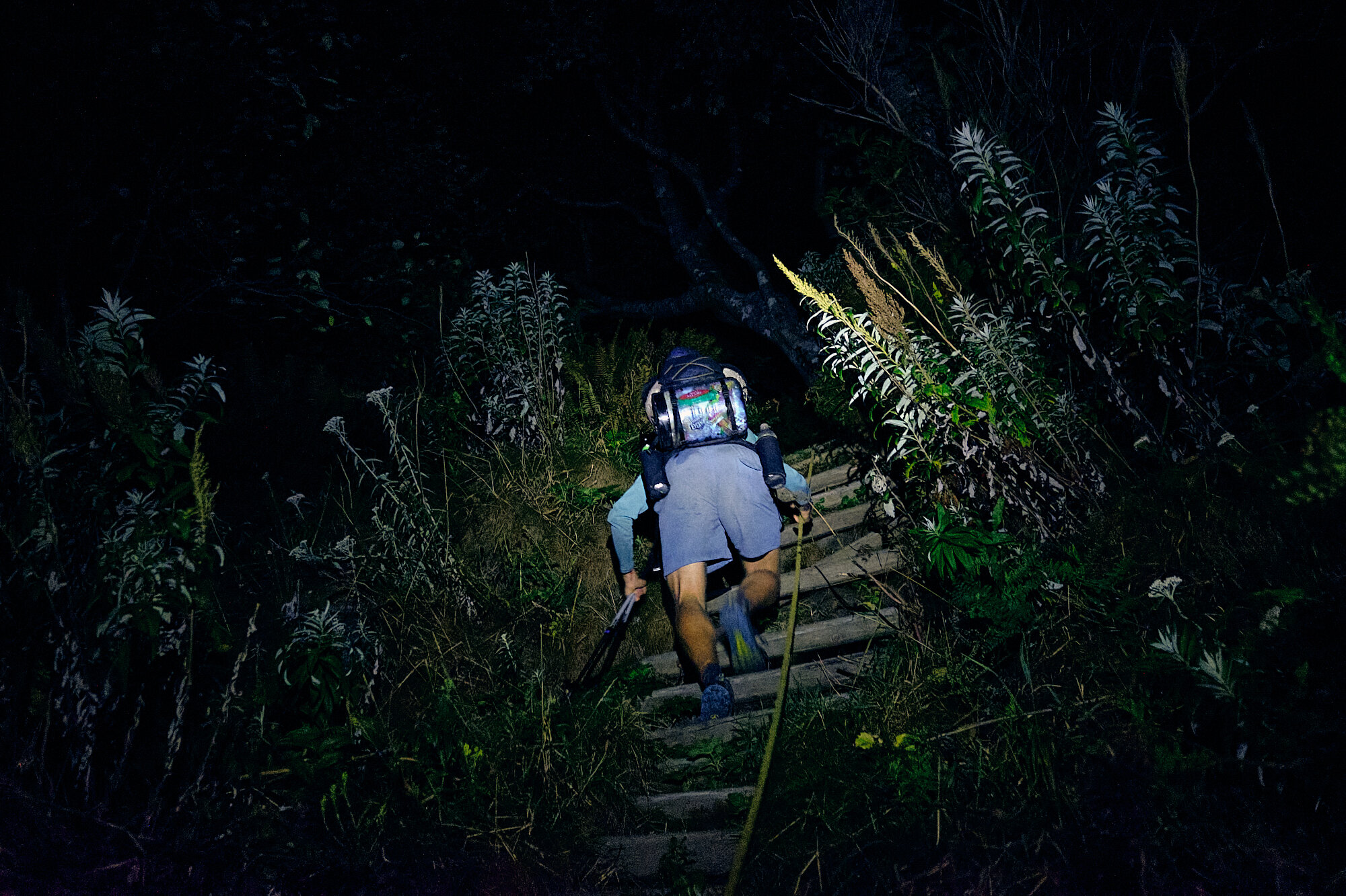
To slow progress even further, hundreds of miles will sometimes pass between trail blazes, the route is seldom maintained (although they’re working on it) and it’s anything but gently graded. Rather than following the grain of a mountain range north/south, like the AT, PCT or CDT, the PNT travels east/west up and over seven distinct mountain ranges, starting with the Rocky Mountains and ending at the westernmost point of the Lower 48 on the Pacific Ocean. It is, in a word, burly.
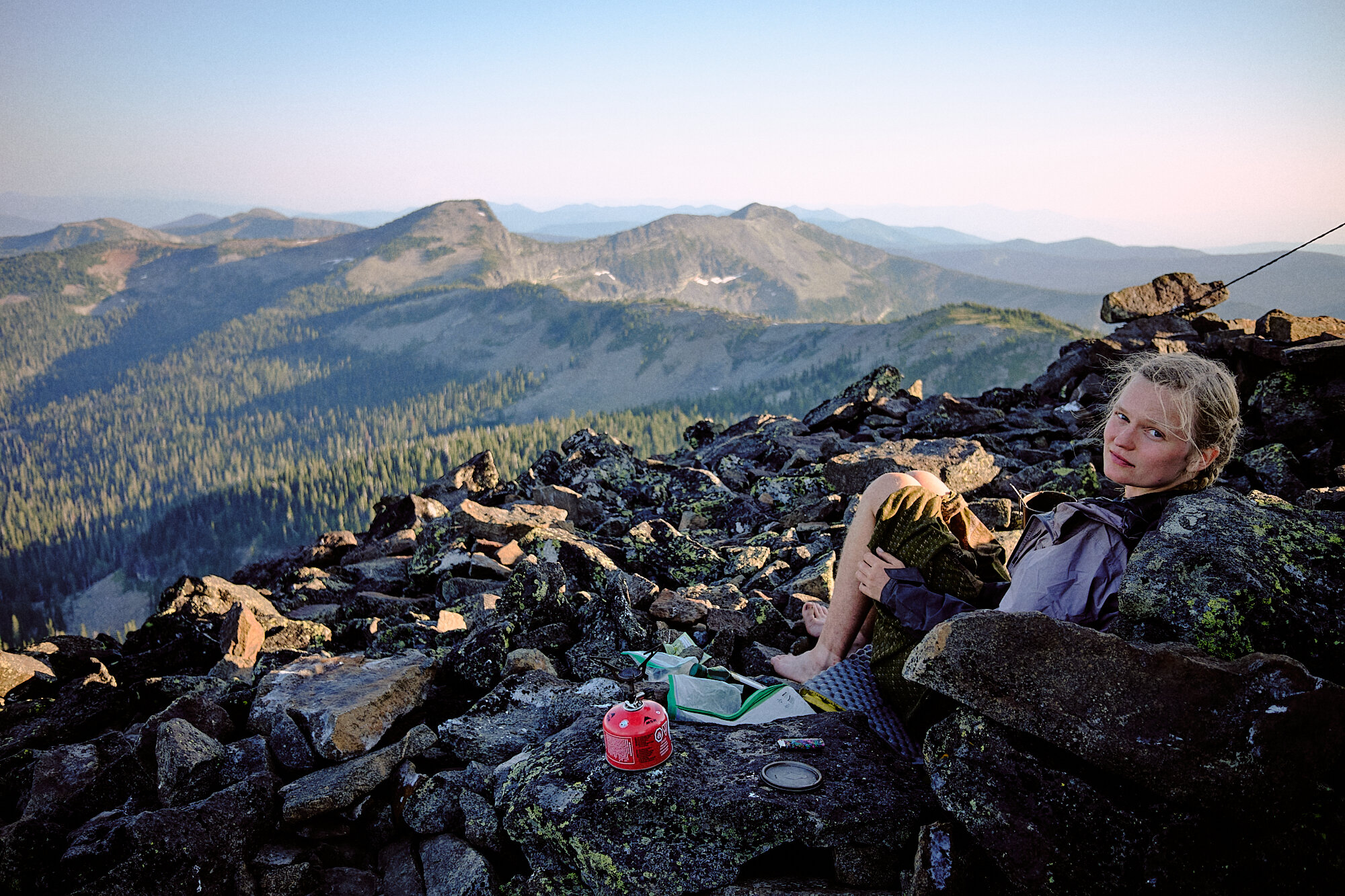
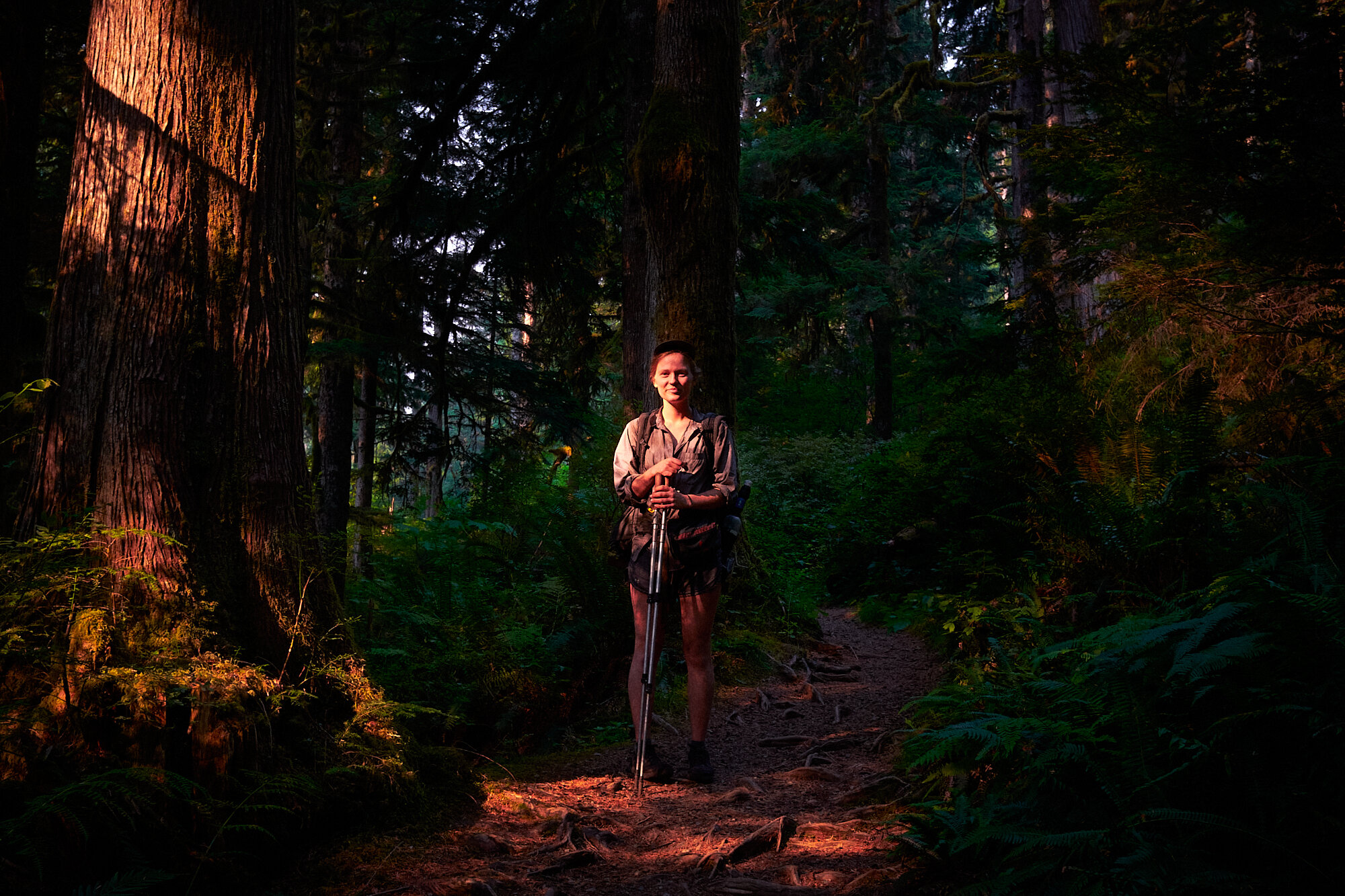
Mentally, this one was weird. Before the hike I had very few feelings, no restlessness, no excitement, no nothing. I would’ve thought I’d be either super stoked to get back into the mountains at length, or at least apprehensive of how much discomfort could lie ahead. For much of the trail it was the same deal, incredibly content with my situation at any given moment but rarely truly excited. At first I was worried that this whole hiking thing that I seemed to have fallen in love with was losing its magic. While to a degree, this is true, the sheer thrill of your first thru-hike can never be recreated. Pretty quickly, though, I found myself happier than I have been in a long time, simply content with making forward progress and attending to the never-ending cycle of chores that is thru-hiking.
Real life doesn’t seem to look as good on me, and I’m once more left yearning for the day that I can fit all of my possessions in a bag and get to walking with no more of a worry than being hungry, uncomfortable, or lost. I’m enormously grateful for all those who met me with kindness in humble trail towns, the dear friends made on top of mountain passes, and the simple pleasure of turning the map to the next page.
I’m happy this one’s done, but I’m not at all happy it’s over.
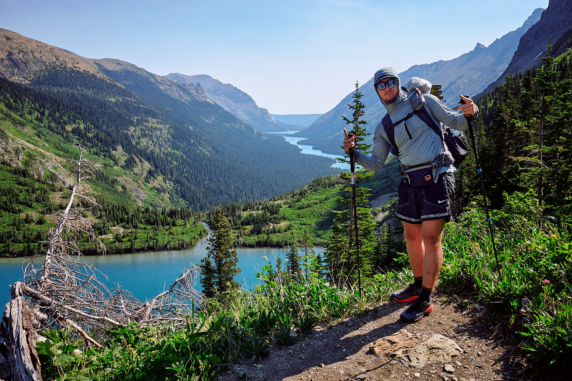
Distance: 1,246.2 miles
Termini: Chief Mountain Customs, MT to Cape Alava, WA
Elevation Gain: 213,682 feet
Days taken: 64
Zero days (no distance traveled): 7
Average mileage including zeros: 19.5
Average mileage without zeros: 21.9
Highest mileage: 28.1
Steps taken: ~2,643,000
Heaviest Recorded Pack Weight: 32 pounds

View Gallery